Track Where Jobs are Left Off
Use a data collector to track where you left off in the field.

Shoot Mapping Follow-up
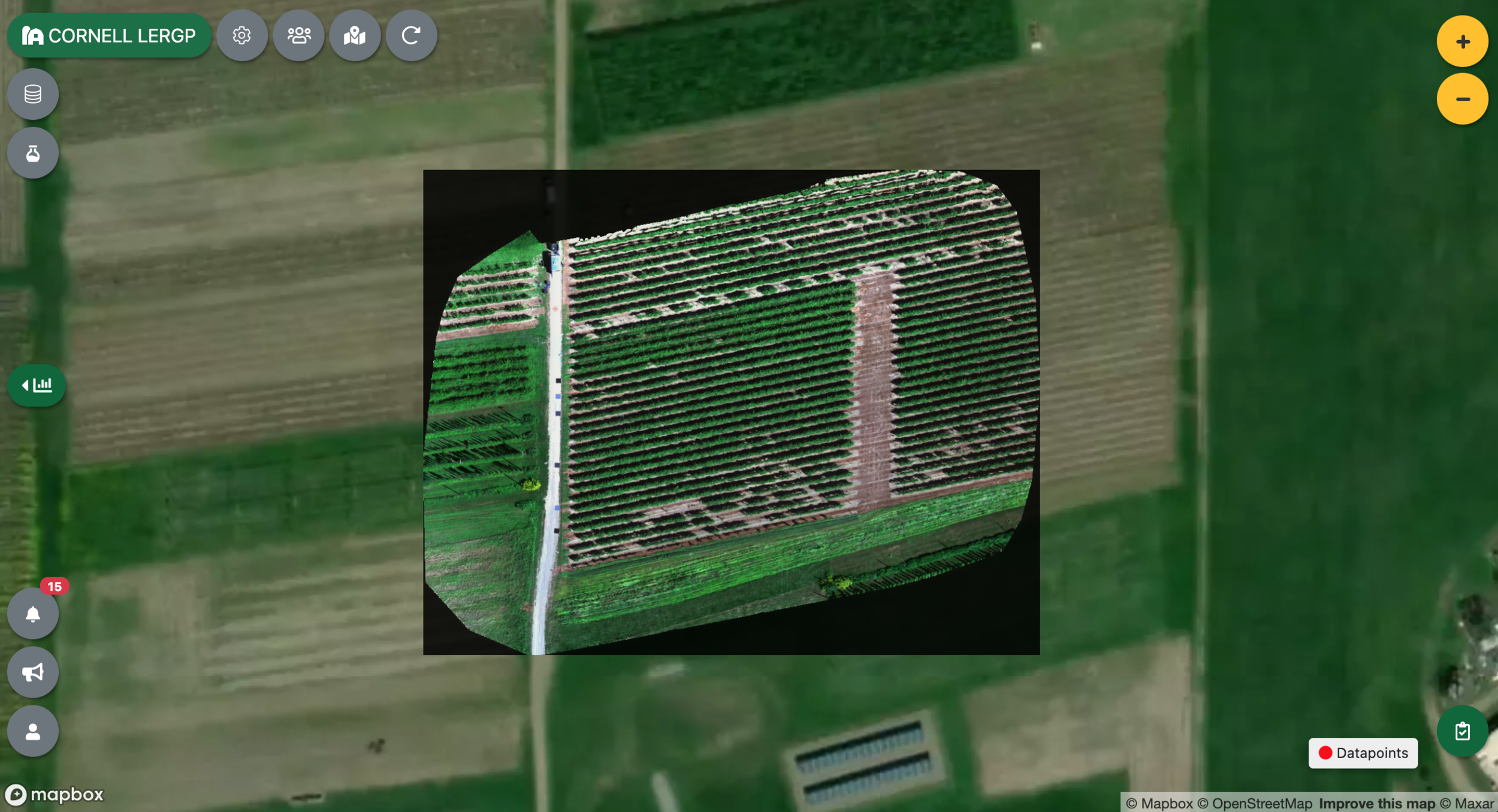
In the field: 90 minutes to scan an 11 acre vineyard, process the data, and generate a validated vineyard map

Early Season Grapevine Shoot Mapping
An example of how to translate a simple NDVI scan into a vineyard shoot density map


Assess Your Freeze Damage with a MyEV data Collector
Scout vineyard freeze damage with the MyEV Data Collector

How to keep your growing stacks of data organized
How to keep all of your farm data organized on the cloud with myEV.

More signal, less noise — useful vine data maps
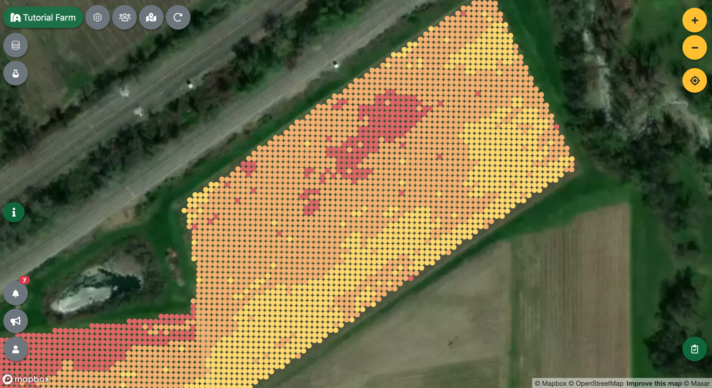
This takes you through all the steps necessary to create a usable, filtered, trimmed, and interpolated map in myEV.


Map absolutely anything on your farm with a phone
Collect map data on your farm using your good old cellphone.

Create an Interactive Map of Your Farm
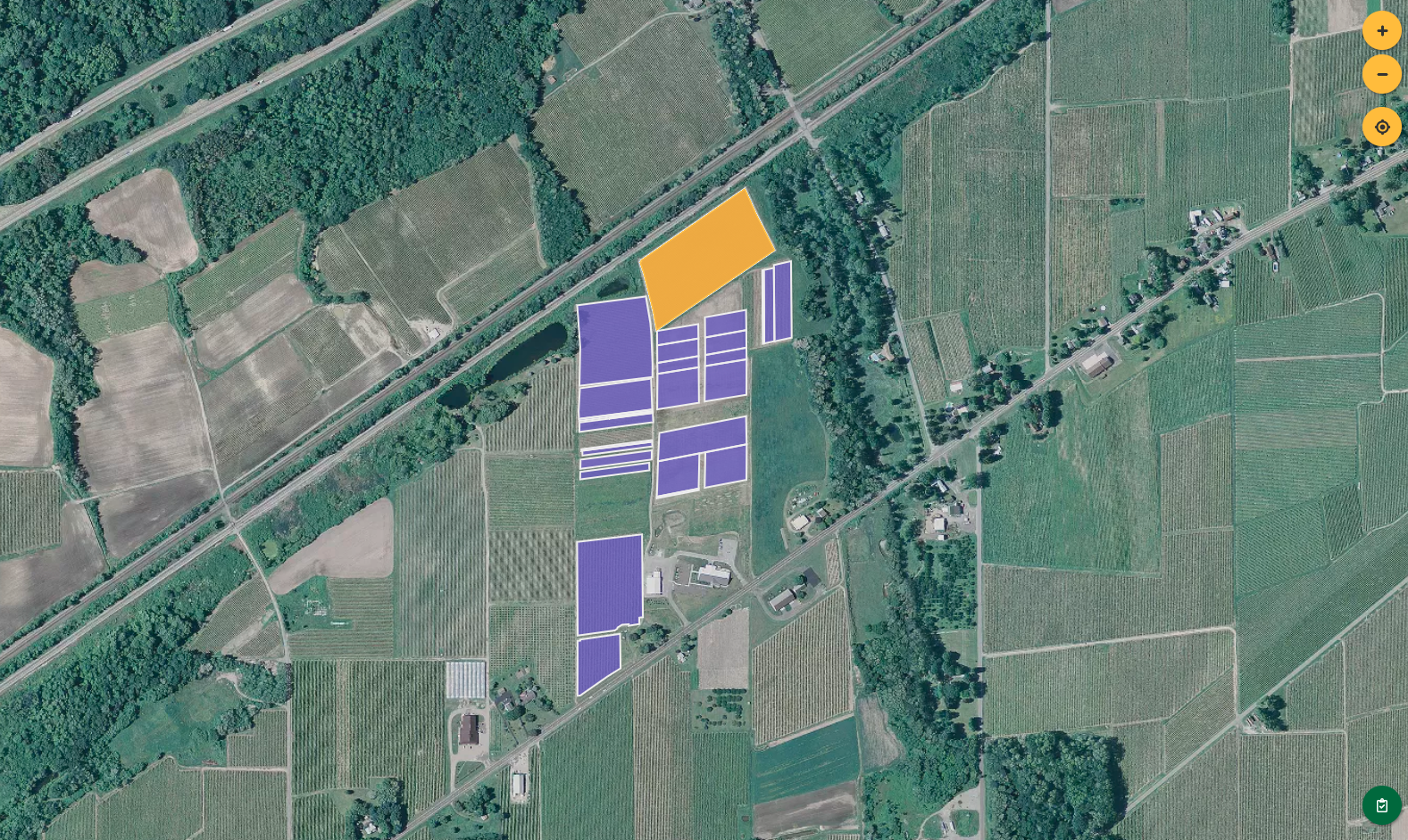
In this post, you’ll learn how to create a simple interactive map of blocks on your farm.


