
Vineyard Scanning in the Finger Lakes
On May 24th, I met up with Hans Walter-Peterson of the Finger Lakes Grape Program to soil and NDVI scan some cooperating vineyards. Our initial objective was to simply collect some baseline sensor data, teach Hans how to use the equipment, and provide some data files for growers to use map in the MyEV platform.
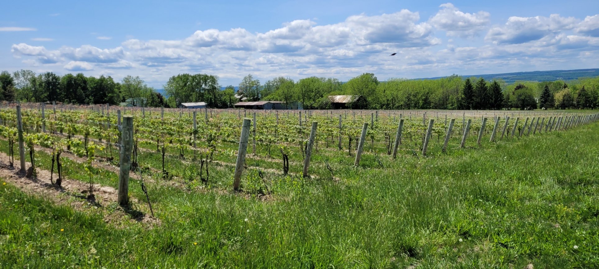
A 9-acre Riesling block in the Finger Lakes. This is a very well managed block and visually uniform. It will be interesting to see if the sensors can pick up any differences.
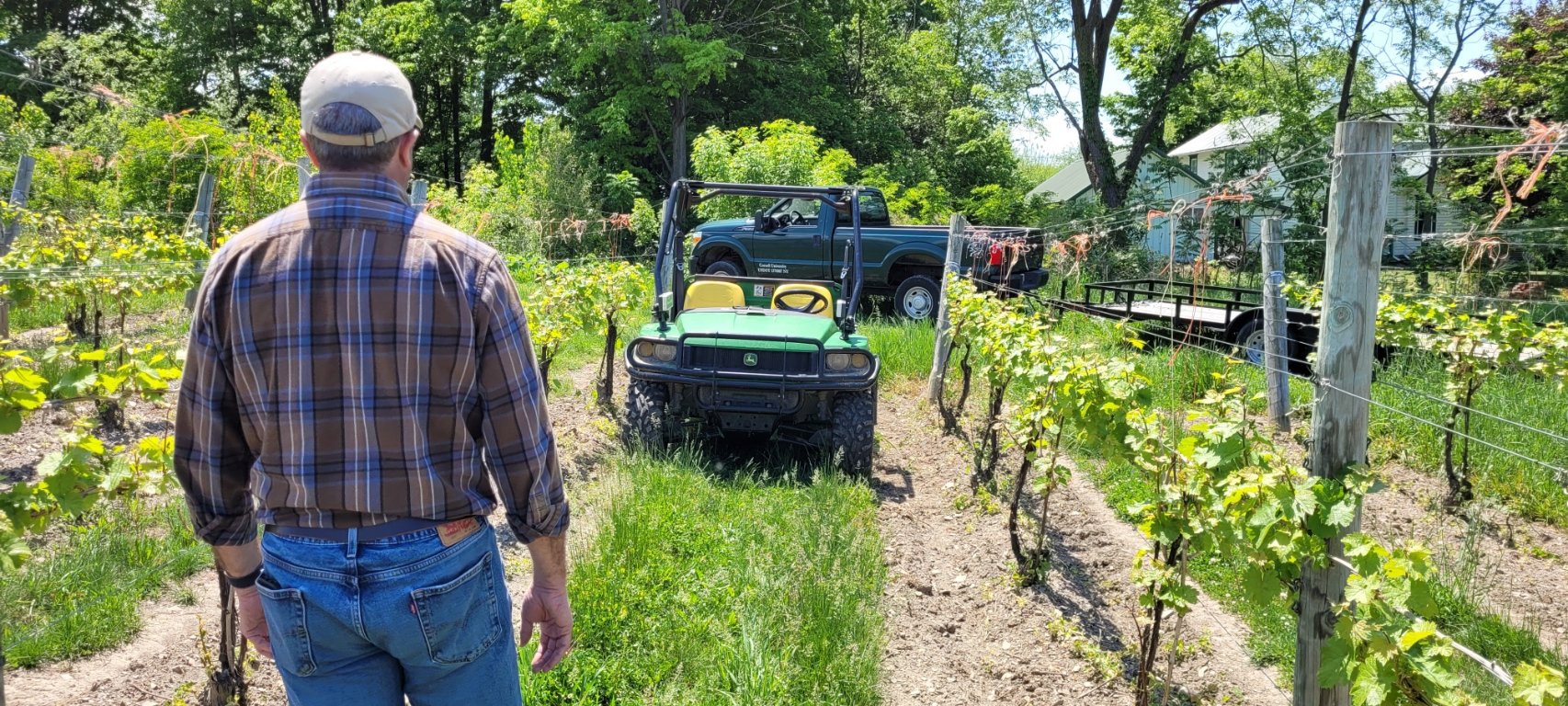
Hans Walter-Peterson checking out the position of the two small NDVI sensors mounted to the front roll bars on the Gator. We use these as side-canopy-facing proximal sensors for collecting grapevine canopy reflectance in the red, red-edge, and near infra-red wavebands. A GPS enabled data logger is used to collect the sensor information and generate a number of vegetative indices, including NDVI.

Here is the resulting spatial NDVI map of the vineyard generated in the MyEV platform. This map can be used to assess canopy growth and shoot count and also direct where to sample for crop estimation.
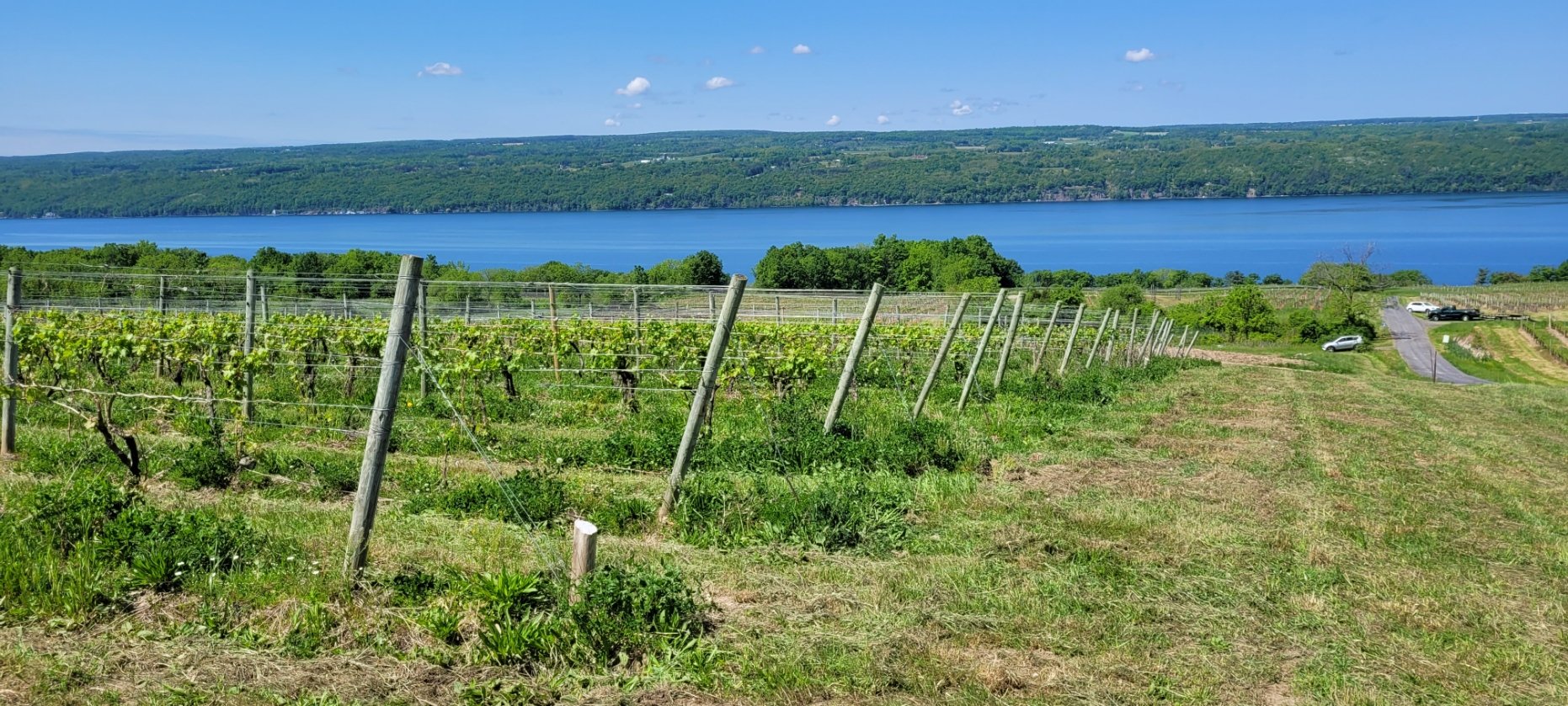
Vineyard along Seneca Lake…not a bad place for some precision viticulture research.